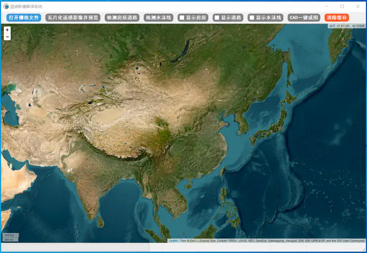
Intelligent Interpretation System for Remote Sensing Images of Nautical and Terrestrial Terrains based on Deep Learning Techniques

Unmanned aerial surveying has expanded the variety of measurement elements, but the current extraction of these elements in surveying results relies on manual identification and drawing, which is inefficient. For comprehensive mapping of river sections, particularly in terrestrial terrain updates for riverine mapping projects, the inefficient manual extraction of features such as watercourse shorelines and other navigational elements does not meet the demands for rapid topographic updates. Automated interpretation of remote sensing images using deep learning technology can address this issue. It can automatically extract linear and block-like topographic features, including building outlines, roads, wharves, and watercourse lines, as well as automatically identify and locate point-like features like buoys and beacons. This accelerates the conversion of aerial survey results into mapping sheets and provides technical support for the rapid updating of terrestrial terrain in waterways.
Deep learning represents a new stage in machine learning development within the field of artificial intelligence. Thanks to its powerful pre-trained models, model expressiveness, and computational inference speed, deep learning can effectively address the characterization of complex object features and the analysis of complex scenes, making it the optimal method for object extraction. In the context of high-resolution remote sensing imagery, deep learning methods for extracting features such as buildings and roads can automatically capture feature information, resulting in high-precision and efficient extraction. Therefore, the key technology in this project is planned to be based on deep learning.